Local & International Research
Featured content

3 Rivers QUEST
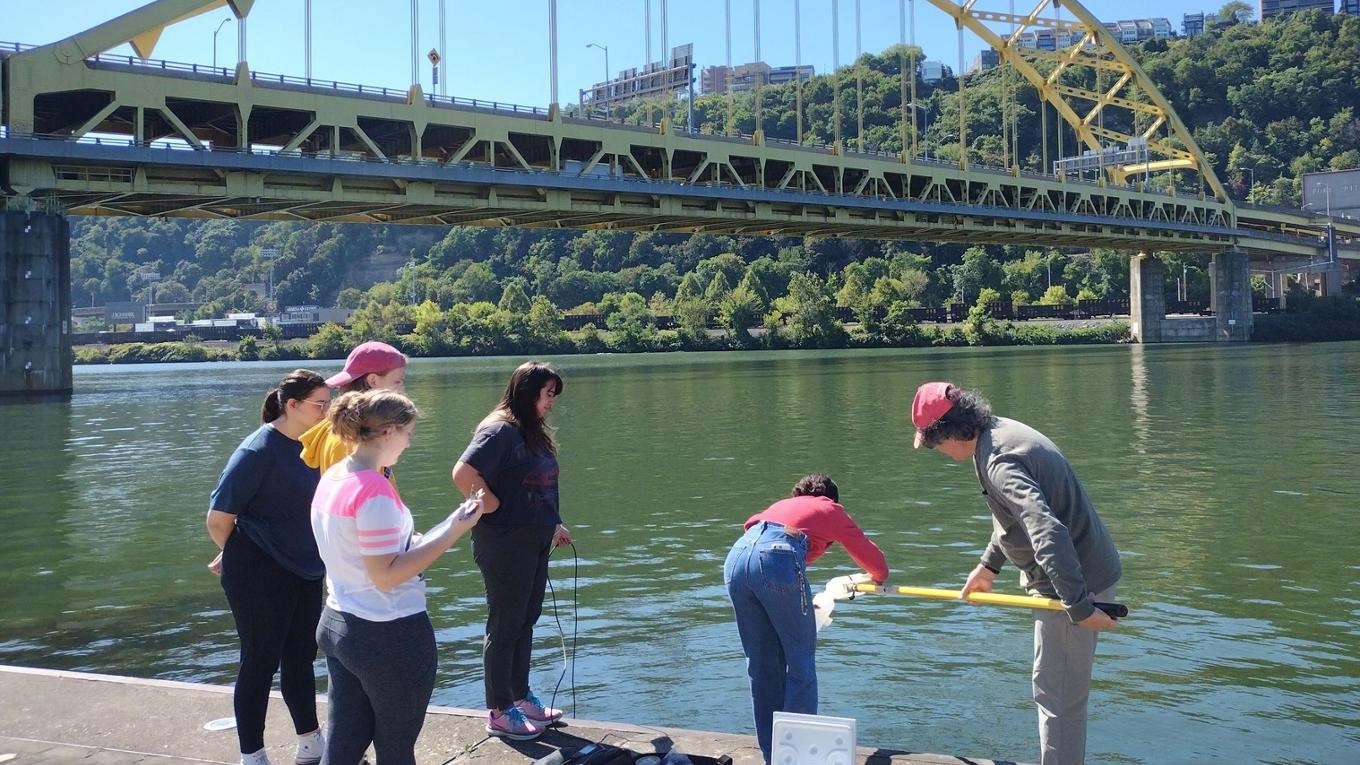
3 Rivers QUEST (Quality Useful Environmental Study Teams) is a comprehensive water quality monitoring and reporting program, sampling all three of Pittsburgh's rivers, their headwaters, and their tributaries. The Program was started by the West Virginia Water Research Institute at West Virginia University in 2009 sampling the Monongahela and has since expanded.

Campus Produce Garden
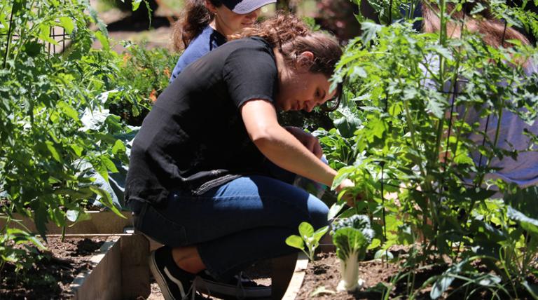
The campus produce garden, located on Academic Walk next to Laval House, started as an undergraduate research project. Its goals are to increase biodiversity, cut down on stormwater runoff, and help with food access issues. Students grow and tend the garden over the summer, using rainwater collected in barrels to water the plants. All the produce is donated to local organizations.
Our department conducts regular campus sustainability reports including Greenhouse Gas Emissions Inventories and the STARS Report, facilitated by the Association for the Advancement of Sustainability in Higher Education.
STARS ReportThe Murphy's Bottom Ecological Project is a habitat restoration project that Duquesne University has undertaken in South Buffalo Township, Armstrong County, Pennsylvania. Duquesne University's initiative is to effectively restore the property to its full environmental potential. Plan objectives include:
- Maximizing biodiversity at Murphy's Bottom site
- Preserving and enhancing the habitat for species of special concern
- Focusing on enhancing aquatic habitat
- Managing / extirpating invasive species
- Removing debris and structures from past mining/processing activity
- Reflecting the input of a wide array of stakeholders
- Serving as a model for future habitat enhancement projects
- Facilitating further study at the site
The Wingfield Pines Abandoned Mine Drainage site is located in Upper St. Clair, Allegheny County. Since 2007, the University has been working with the Allegheny Land Trust to return the 80-acre former golf course and swim club in Upper St. Clair and South Fayette townships into a public recreation area, remediating the abandoned mine drainage into Chartiers Creek.
Passive drainage systems use gravity to slowly drive the water through five settling ponds, plus a wetland. The water moves at a slow enough pace to maximize contact with atmospheric oxygen, which induces iron precipitation. It takes approximately 48 hours for the water to flow from its entry point in Pond 1 to the outflow point at the end of the wetland area. The 8-acre network of settlement ponds and wetlands eliminates 99 percent of the iron oxide from entering Chartiers Creek.


